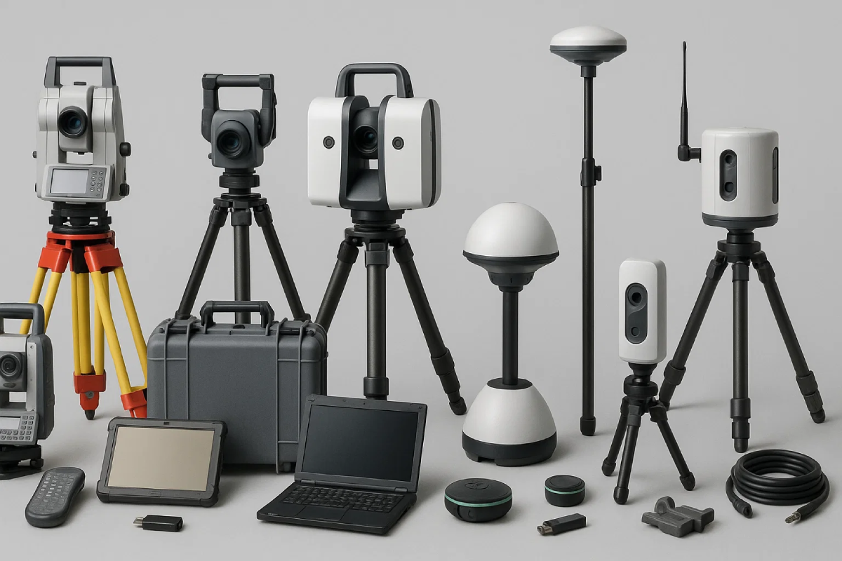
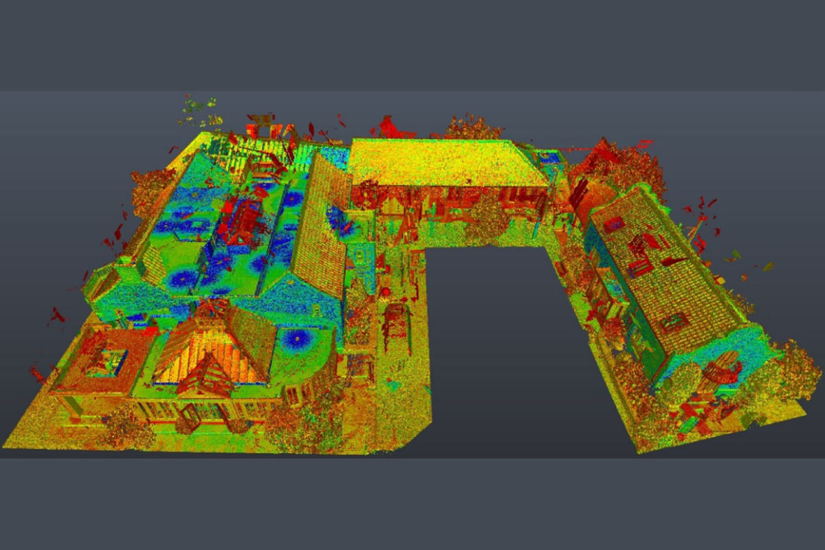
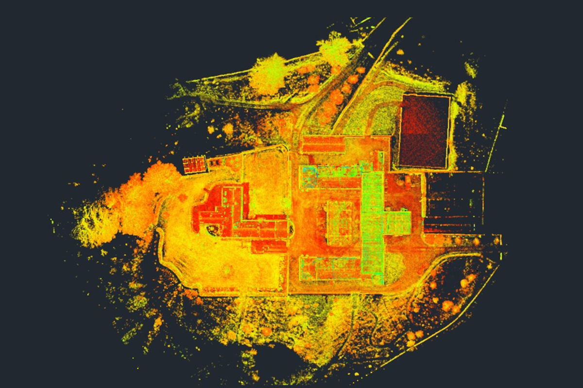
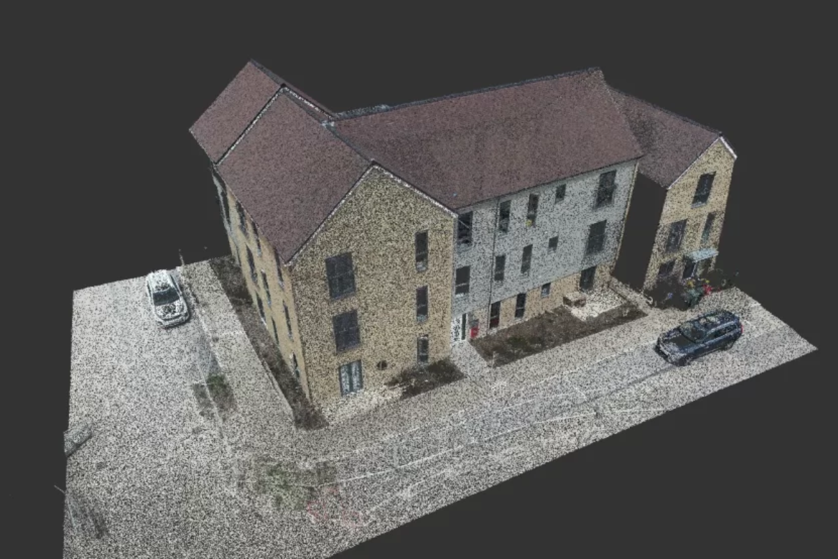
Cutting-edge 3D laser scanning that delivers faster decisions, fewer errors, and reduced project costs.
Delivering precise data capture and modelling solutions
We deliver fast, accurate 3D laser scans that reduce rework, lower costs, and integrate seamlessly into your design and BIM workflows.
Learn MoreWe create clear, regulation-compliant CAD drawings that simplify approvals and ensure your domestic project meets UK planning and building standards.
Learn MoreWe produce precise floor plans, elevations, and sections that support accurate planning, compliance, and confident project decisions.
Learn More
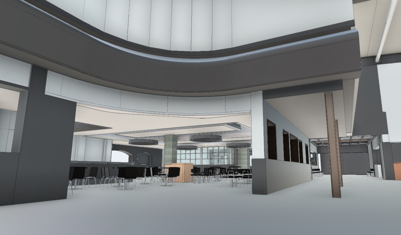
Using the latest laser scanning technology, we capture detailed pointcloud data with exceptional accuracy, providing a comprehensive digital representation of your site or structure. This high-quality dataset supports a range of applications, including clash detection, as-built documentation, design validation, and ongoing asset management. Our streamlined process enhances collaboration across teams, reduces the need for repeat site visits, improves on-site safety, and helps keep your project on track from concept to completion.
Transforming pointcloud data into actionable deliverables
Precision floor plans, elevations, and sections extracted from scan data.
Detailed 3D models for visualization, analysis, and fabrication.
Latest models compatible with Revit, ArchiCAD, and other BIM platforms.
We provide professional CAD support for planning applications and building control drawings for domestic properties, ensuring full compliance with UK Building Regulations (Part A to Part K) and local planning requirements. Our clear, accurate designs help streamline approvals, and we also offer structural calculation support to ensure safety and compliance throughout your project.
See how we've helped clients across industries
As CAD Coordinator and Assistant Design Engineer for ESL UK, Jake played a key role in delivering a major ancillary civils package for the £150m Northumberland ...
At SEP Rail Services, Jake led the delivery of a complex and high-profile 3D BIM model for Stratford Station in London. This work formed part of a broader passenger flow ...
Over several years, Jake has contributed to a wide range of rail and civil engineering projects across the UK, building a strong reputation for delivering ...
Cutting-edge equipment and software for unparalleled accuracy
±1mm at 10m distance for our high-precision scanners
Up to 2,000,000 points per second with our latest equipment
High-resolution HDR photography integrated with pointclouds
Cloud-based processing for rapid turnaround of large datasets
With over 18 years of hands-on experience in the surveying industry, we bring a broad and reliable skill set to every project we take on. Our expertise covers Land, Measured Building, Rail, and Utility surveying—ranging from small domestic and heritage sites to large-scale commercial developments.
We’ve also contributed to academic development, including delivering guest lectures to first-year students at the University of Liverpool, where we explored modelling from Pointcloud Data within Autodesk Revit.
In more recent years, we’ve broadened our offering to include Civil Design Engineering. We support design teams across the sector, lead experienced CAD technicians, and manage everything from drawing production to the implementation of 3D modelling processes. We’re always looking to adopt the latest technology to streamline workflows and improve efficiency.
Our ongoing commitment to professional development reflects our passion for quality, innovation, and providing the highest standards of service in all areas of our work.
Jake Howard - Managing Director & Principal Surveyor
Committed to quality and safety standards
Ready to discuss your project? Contact us today.
49 Anthorn Road, Wigan
England, WN3 6UF
+44 (0)7810 446 045
info@hdcadservices.co.uk